Quadruped Robot
Construction & Surveying Solution
Construction & Surveying Solution
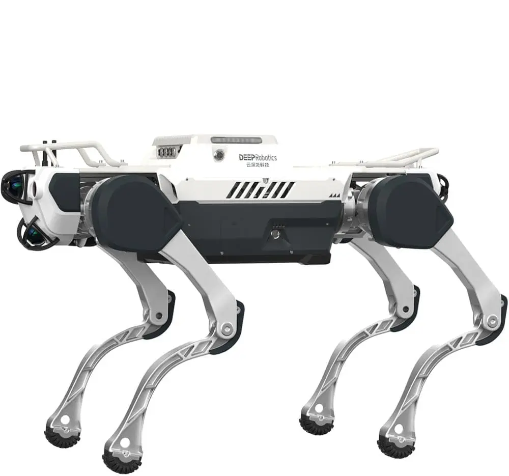
Deploy an autonomous quadruped robot built for comprehensive construction mapping in rugged, confined, or unstable environments—capturing precise 3D data, generating detailed digital twins, and delivering real‑time analytics to enhance planning accuracy, site safety, and project efficiency.
DEEP Robotics powers missions for companies worldwide.
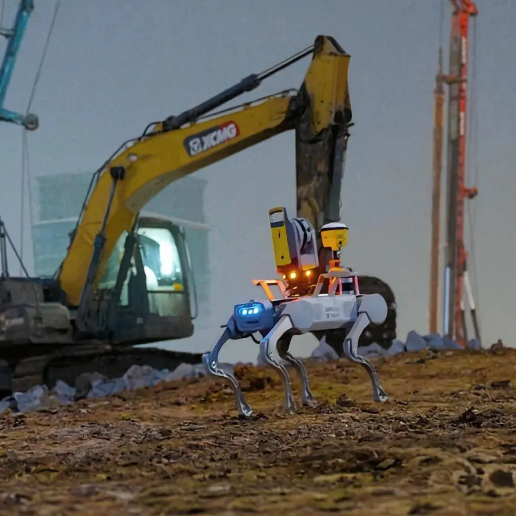
All-Weather, All-Terrain Autonomous Inspection
Our IP66-rated quadruped inspection robot delivers continuous 24/7 autonomous operation in extreme weather—be it heavy rain, snow, hail, or high winds. Engineered for resilience, it effortlessly surmounts obstacles, climbs stairwells, and handles rugged terrain and uneven surfaces to ensure dependable inspection across substations, pipelines, tunnels, and industrial facilities.
Capable of navigating through debris, steep slopes, and confined zones, it bridges the mobility gap of traditional wheeled or tracked robots. With this robust performance, your infrastructure inspections run uninterrupted—driving higher asset uptime, lowering inspection costs, and accelerating predictive maintenance insights.
Reduce Risk and Boost Survey Efficiency with Robotic Construction Mapping
Our autonomous quadruped surveying robot enables field teams to perform construction site mapping, 3D scanning, and terrain surveying in harsh weather—rain, snow, dust, or wind—without putting human operators in dangerous zones. This dramatically reduces safety risk in areas like unstable slopes, deep trenches, excavation pits, or congested building sites.
By automating repetitive survey tasks—such as path traversal, data capture, point cloud scanning, and map stitching—the robot accelerates mapping cycles and reduces auxiliary manual labor. The result: more frequent and accurate site maps, improved workflow efficiency, lower survey costs, and consistent construction mapping data for BIM, digital twin, and progress tracking integration.
X30 Intelligent Surveying Add-ons
Multi-add-on collaboration makes surveying tasks simpler.
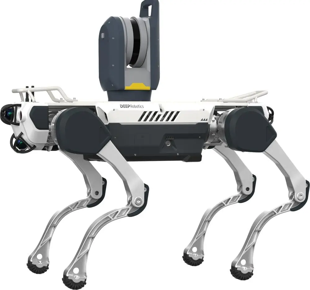
3D Survey Scanner
A lightweight scanning system that can achieve automatic calibration, ensuring the accuracy of each scan, simple operation, and improved efficiency.
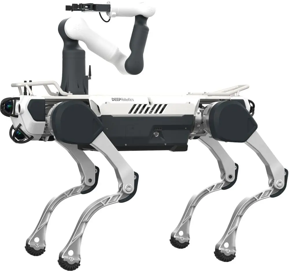
Agile Robotic Arm
It can be equipped with end loads such as a camera and gripper to achieve remote grabbing, switching doors, picking up items, and other operations.
Smart Controller
The navigation host motherboard simultaneously handles business-related program processing, primarily providing functions such as map construction and location navigation.
FAQs – Construction Mapping Robots
DEEP Robotics quadruped robots, such as the X30, are designed to perform autonomous construction mapping and surveying. They capture accurate 3D data, generate digital twins, and provide real-time analytics, even in rugged or confined construction environments.
DEEP Robotics robots improve mapping by:
-
Collecting precise 3D scans for project planning
-
Generating digital twins to track progress
-
Operating in harsh weather and unstable terrains
-
Reducing repetitive manual surveying tasks
-
Enhancing site safety by minimizing worker exposure to hazardous areas
The X30 quadruped robot is particularly suited for construction mapping with its advanced surveying add-ons like 3D survey scanners, robotic arms, and acoustic imagers. The Lynx M20 can also assist in confined environments requiring compact mobility.
Key surveying add-ons include:
-
3D Survey Scanner: Delivers automatic calibration and high-accuracy scans
-
Agile Robotic Arm: Enables remote manipulation, door operation, and item retrieval
-
Smart Controller: Handles map construction, navigation, and real-time localization
Yes. Rated IP66, DEEP Robotics quadruped robots withstand heavy rain, snow, hail, and dust. They can operate 24/7, climbing stairs, navigating rubble, and overcoming uneven terrain common on construction sites.
By automating mapping in unstable or hazardous zones, DEEP Robotics robots reduce the need for workers to enter dangerous areas, lowering accident risks. Real-time analytics also help project managers make faster, data-driven safety decisions.
DEEP Robotics robots streamline workflows by providing continuous, automated mapping. This reduces manual surveying time, increases accuracy, and ensures project managers have reliable data for progress monitoring and resource planning.
Yes. The high-precision mapping data collected by DEEP Robotics quadruped robots integrates with Building Information Modeling (BIM) systems and digital twin platforms, supporting modern smart construction and project management practices.
DEEP Robotics combines rugged quadruped mobility with intelligent surveying add-ons to deliver reliable 3D mapping, digital twin creation, and autonomous navigation. Models like the X30 are proven solutions for improving safety, accuracy, and efficiency in construction and civil engineering projects.


